Tutorials
Short step-by-step videos — from your first profile to BIM export.
Paste polyline coordinates straight from AutoCAD — Altivo keeps only X and Y and ignores the rest. The whole route lands in plan view in seconds, then you switch to the longitudinal profile.
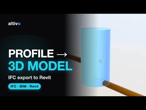
Turn a longitudinal profile into a georeferenced 3D model in IFC — ready to load in Revit (“Link IFC”) or any BIM tool. At the end we open the file in Autodesk Viewer.