Altivo Blog
How to design long sections, export clean DXF and stop losing hours on hand drafting.

Import Coordinates from Excel into AutoCAD: CSV, Point IDs and Elevations
Get a survey point list from Excel into CAD without losing point IDs, decimals or elevations: prepare the CSV, map easting, northing and Z, and compare plain AutoCAD with Civil 3D point file formats (PNEZD vs PENZD) — with a sample file.
Easting and Northing: British National Grid, ITM and US State Plane in CAD
How to read an easting/northing pair, OS grid references, OSGB36 vs WGS84 and OSTN15, Irish Grid vs ITM, US State Plane zones and the survey-foot trap — worked numbers and a troubleshooting table for a drawing that lands somewhere else.
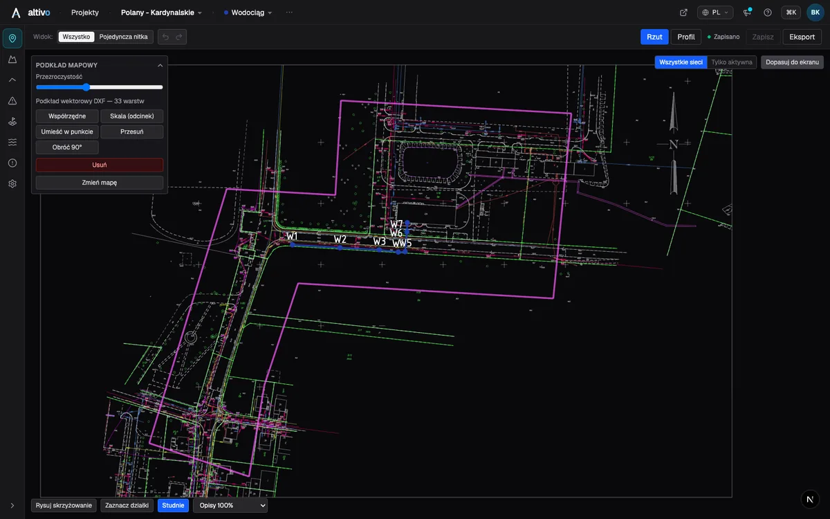
Base map as an underlay: trace your network route over DXF, PDF or PNG
How to load a survey drawing or base map as an underlay on the plan view, calibrate it to real coordinates and trace the network route over it — in the browser, without a CAD seat.
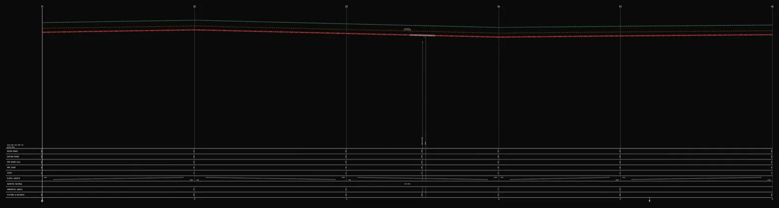
Underground cable long section — power and telecom cable routes
How to draw the longitudinal profile of a buried power or telecom cable route: minimum burial depth by voltage class, crossings, protective ducting, warning tape and a DXF export — in the browser, no CAD.
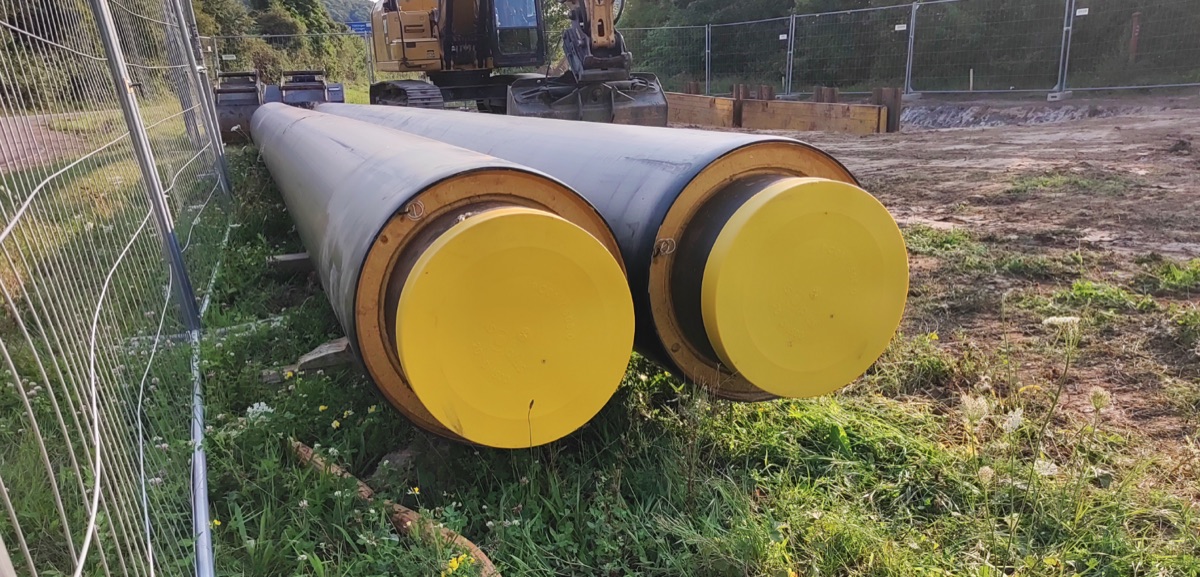
District heating long section — preinsulated pipe in profile
How to draw the longitudinal profile of a district heating network with preinsulated bonded pipe: two diameters (carrier and casing), cover to the casing crown, leak detection, crossings, the profile table and a DXF and IFC export — in the browser, no CAD.
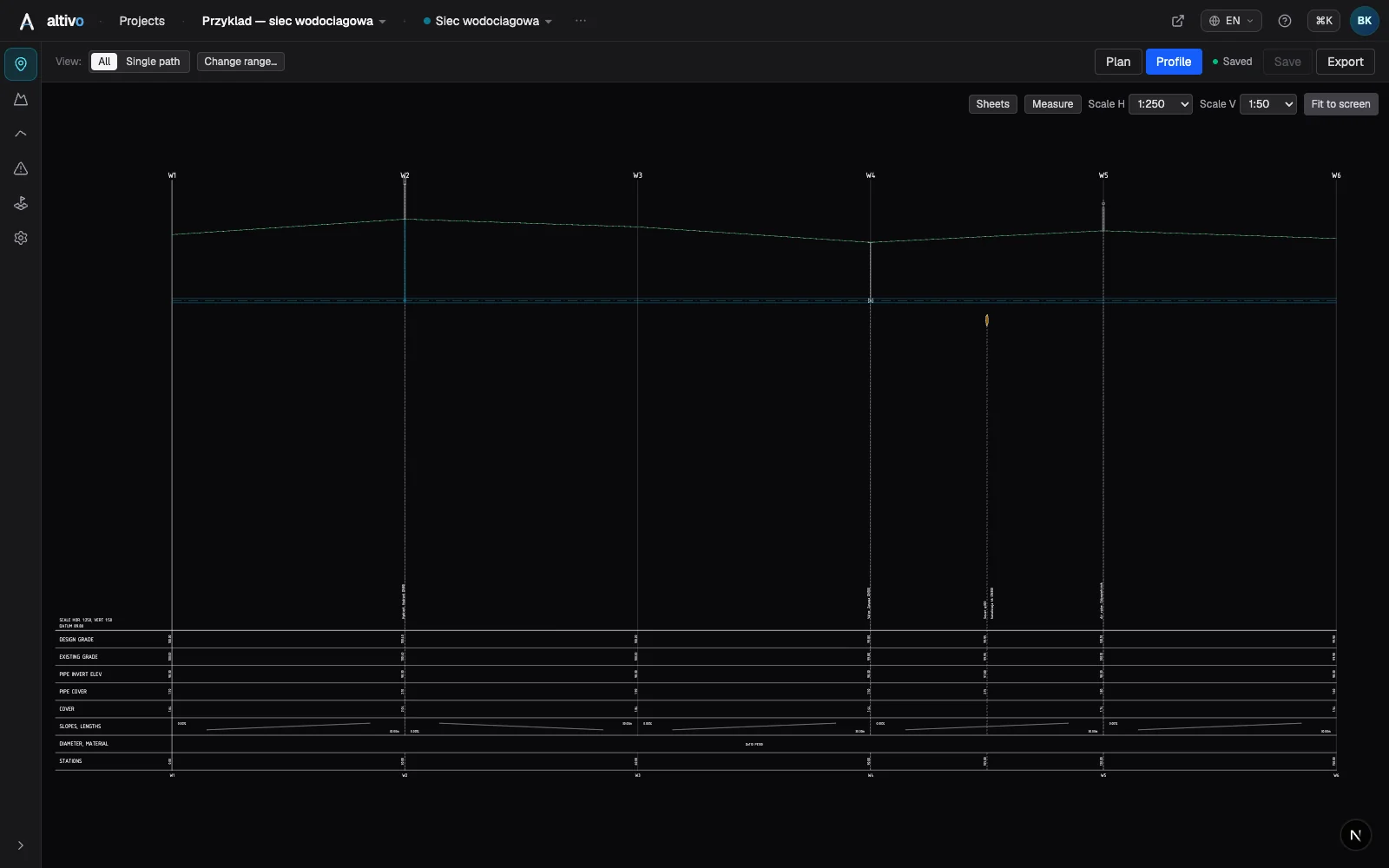
Water main long section to DXF — step by step
How to draw a water main longitudinal profile: minimum cover vs frost depth, pipe centreline levels, valves and hydrants, crossings, the profile table and a clean dual-scale DXF export — in the browser, no CAD.
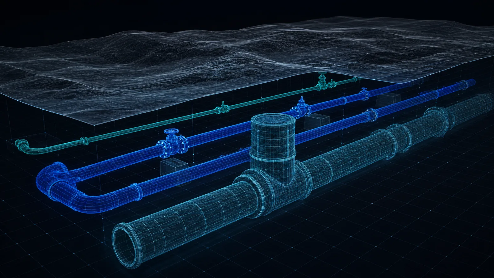
What is IFC, and how to export a utility network to BIM (3D model)
IFC is the open exchange format for BIM models. We explain what it is, why utility designers need it, and how to export your network from Altivo as a georeferenced IFC and 3D DXF.
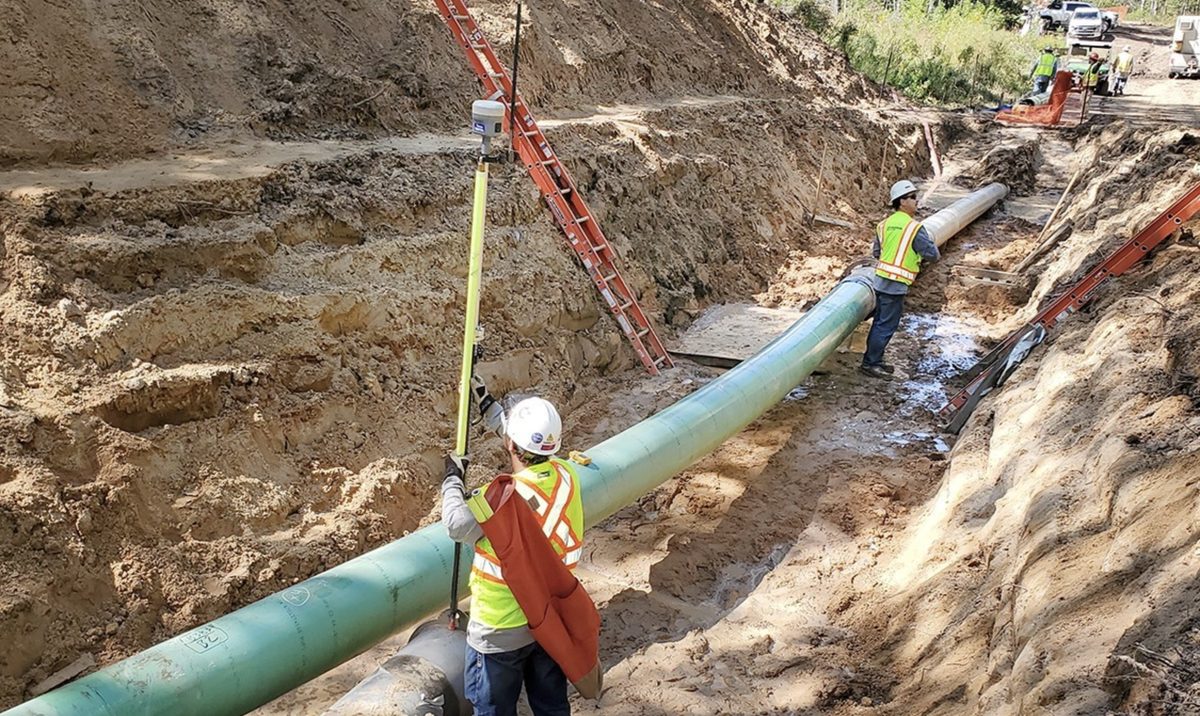
Minimum sewer slope (gradient) by pipe size: the 1-in-DN table
Minimum gradient per DN for gravity public sewers using the 1-in-DN rule (Maguire’s Rule) — as a 1:DN ratio, % and mm/m. How it differs from UK 1:40/1:80 private-drainage falls and from self-cleansing velocity (EN 752).
Civil 3D alternative for pipe long sections (plan & profile)
When Civil 3D is right for a utility long section and when it is overkill: an honest comparison, where a focused tool stops, and Excel table to DXF.
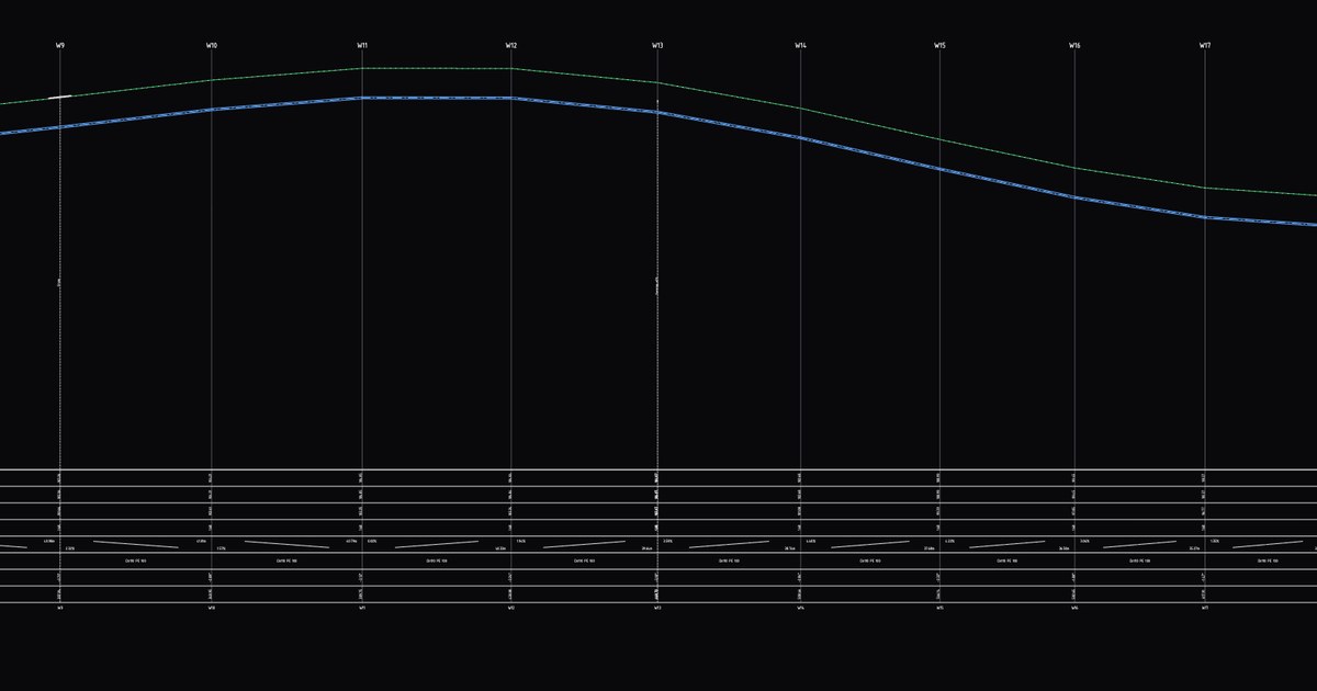
Crossings and objects on the profile — how to add and edit them
Step by step: how to place utility crossings and objects (manholes, roads, buildings) on a long-section profile in Altivo, how to edit their parameters and how to delete them.

Online long section profile software — from data to DXF
How to prepare a utility long section in the browser: input data, levels, gradients, stationing, crossings, the profile table and DXF export for further CAD work.
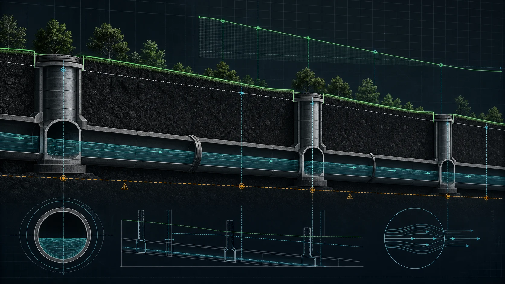
Gravity sewer gradients in the UK: minimum and maximum slopes — BS EN 752 and Sewerage Sector Guidance
How to choose the slope of a gravity sewer in the UK: self-cleansing velocity, the 1/DN rule of thumb, minimum and maximum gradients, and which framework applies (BS EN 752 and the sewerage undertaker's DCG for public sewers; Building Regulations Part H for building drainage).
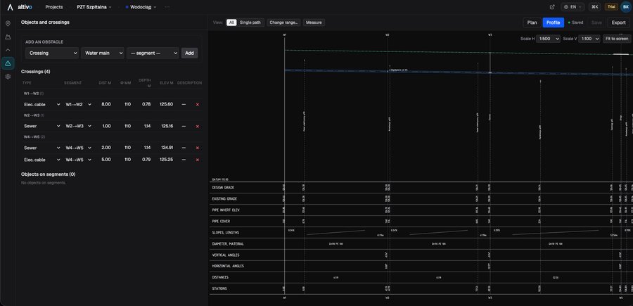
How to read a utility long section (longitudinal profile)
A practical guide to the long section of a water, sewer or gas network: ground line, pipe invert, gradients, stationing, the profile table and what a reviewer checks.
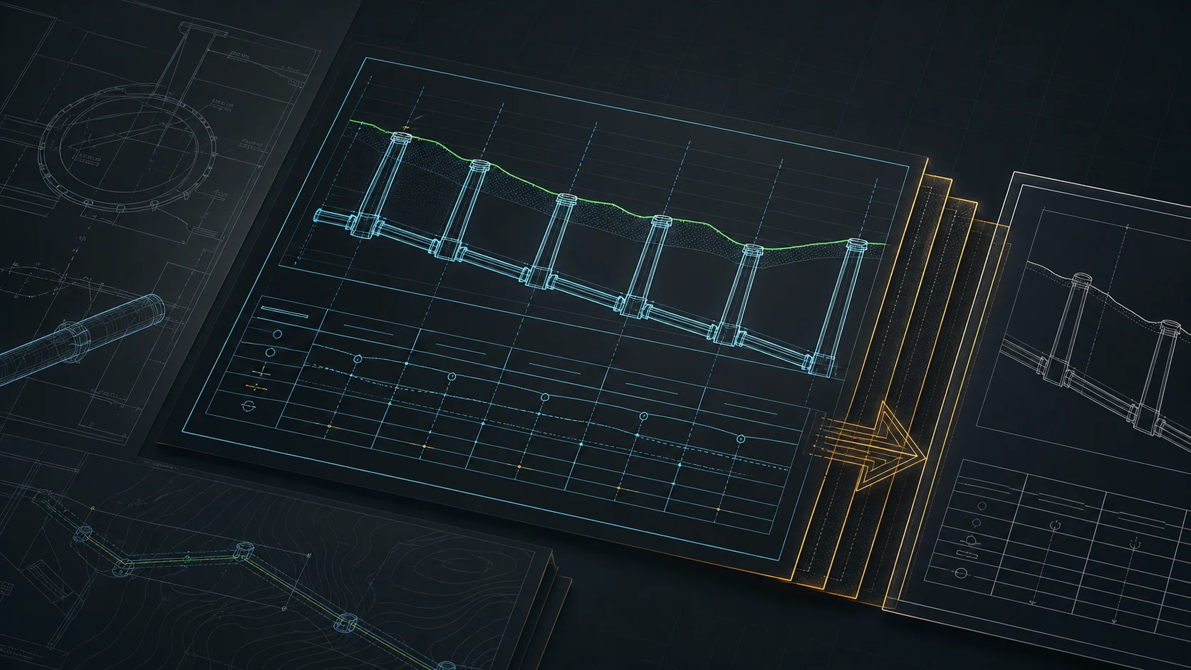
Sewer long section to DXF — step by step
From field coordinates to a CAD-ready longitudinal profile of a gravity sewer. A concrete walkthrough: import, gradients, manholes, drop connections, dual-scale DXF export.
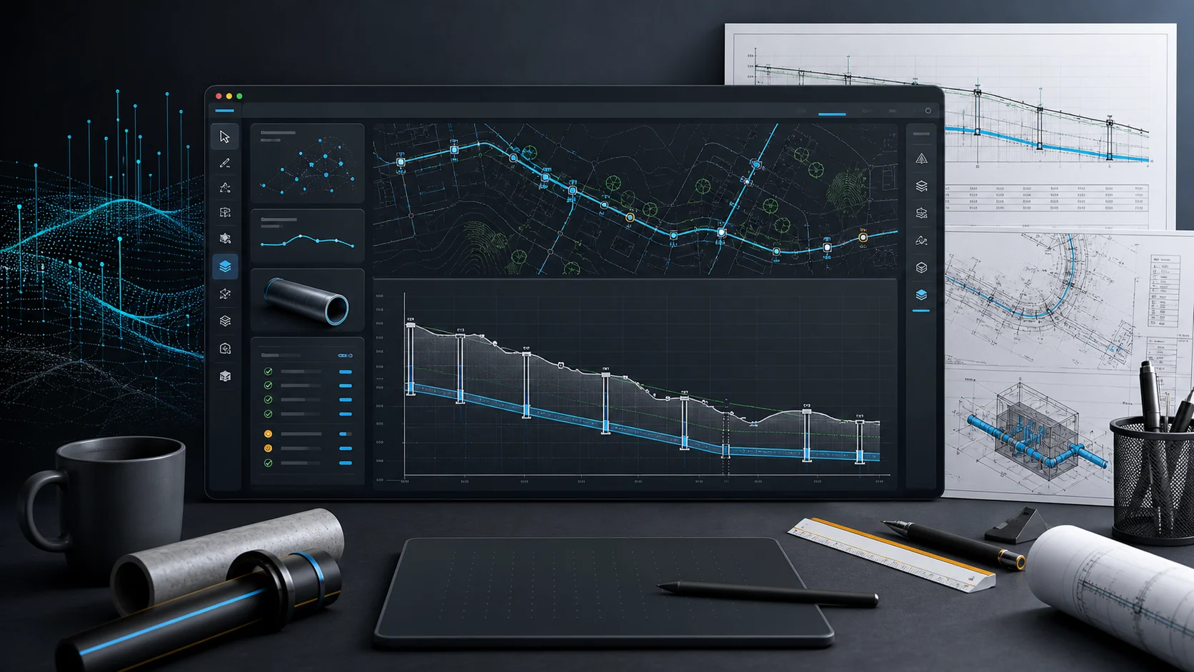
Welcome to Altivo — utility long sections in your browser
See what Altivo can do today: 7 network types, plan and profile, engineering calculations, and DXF, 3D IFC and XLSX exports without installing CAD software.