Quick answer
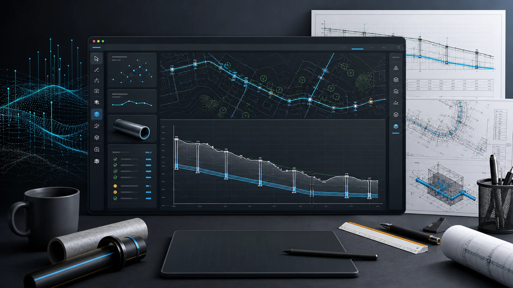
Altivo is a browser-based application for designing long sections for seven utility-network types: water, gravity sewer, pressure sewer, gas, power cables, telecom cables and district heating. It combines plan view, profile, engineering calculations and a shared object library, then exports the finished design to DXF, 3D IFC and XLSX schedules without requiring a separate CAD installation.
Altivo was created to shorten the work that usually involves drawing a long section by hand in CAD, recalculating elevations in a spreadsheet and keeping several related layers in sync.
Since its launch, the application has grown into a complete workspace for preparing plan views and utility-network long sections.
What can you do in Altivo?
- Import route data with X, Y and Z coordinates or paste it directly from CAD or a spreadsheet.
- Design 7 network types: water, gravity sewer, pressure sewer, gas, power cables, telecom cables and district heating.
- Build main routes and branches and work in plan view over a calibrated map underlay.
- Add crossings and engineering objects, including manholes, chambers, hydrants, valves, casings and buildings.
- Use network-specific calculations, including hydraulics, pressure loss and voltage drop where applicable.
- Generate the long section with elevations, slopes, chainage and a configurable data table.
- Export DXF, 3D IFC and XLSX schedules for the next stage of the design workflow.
Why does it run in the browser?
There is no extra application to install, hardware key to move or dedicated workstation to configure. Your project is available after sign-in, while the DXF remains compatible with the CAD environment you already use.
See the latest releases in What's new in Altivo, or watch the complete workflow in the free video tutorials.
Frequently asked questions
What is Altivo? Altivo is a browser-based application for designing plan views and utility-network long sections. Paste or import coordinates, build the route, set network parameters and export the finished drawing for further project work.
Which utility networks does Altivo support? Altivo supports 7 network types: water, gravity sewer, pressure sewer, gas, power cables, telecom cables and preinsulated district-heating pipes.
Do I need to install anything to use Altivo? No. The editor runs in your browser and needs no installation or hardware dongle. You can open the resulting DXF in applications including AutoCAD, BricsCAD and ZWCAD.
Which formats can Altivo export? Altivo exports plan and profile drawings to DXF, a georeferenced 3D model to IFC, and selected schedules to XLSX. The results fit into an existing CAD and BIM workflow.
Create an account and try Altivo for 14 days — no card required.
Related articles

Import Coordinates from Excel into AutoCAD: CSV, Point IDs and Elevations
Get a survey point list from Excel into CAD without losing point IDs, decimals or elevations: prepare the CSV, map easting, northing and Z, and compare plain AutoCAD with Civil 3D point file formats (PNEZD vs PENZD) — with a sample file.
Easting and Northing: British National Grid, ITM and US State Plane in CAD
How to read an easting/northing pair, OS grid references, OSGB36 vs WGS84 and OSTN15, Irish Grid vs ITM, US State Plane zones and the survey-foot trap — worked numbers and a troubleshooting table for a drawing that lands somewhere else.
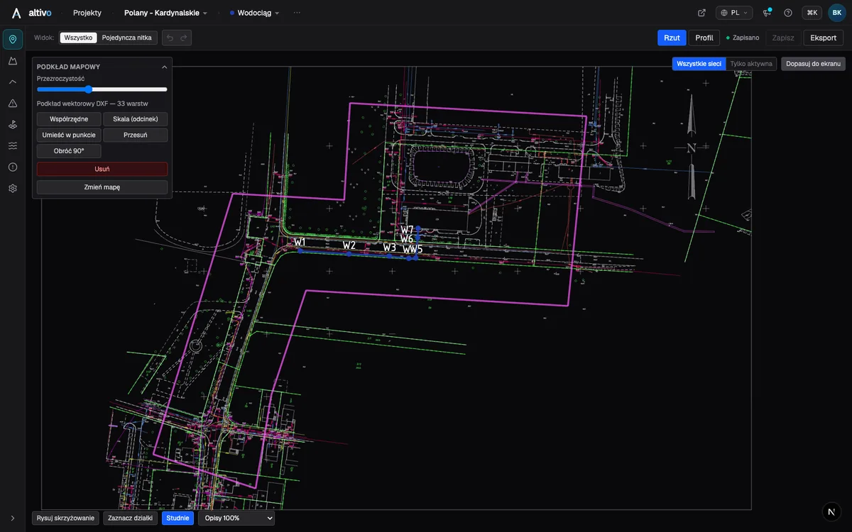
Base map as an underlay: trace your network route over DXF, PDF or PNG
How to load a survey drawing or base map as an underlay on the plan view, calibrate it to real coordinates and trace the network route over it — in the browser, without a CAD seat.
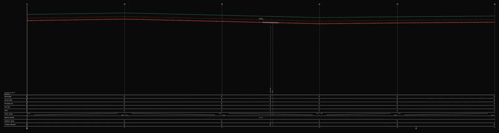
Underground cable long section — power and telecom cable routes
How to draw the longitudinal profile of a buried power or telecom cable route: minimum burial depth by voltage class, crossings, protective ducting, warning tape and a DXF export — in the browser, no CAD.
Ready to design without the pain?
Altivo is the fastest way to produce a clean DXF. Try it today.
Start the 14-day trial